
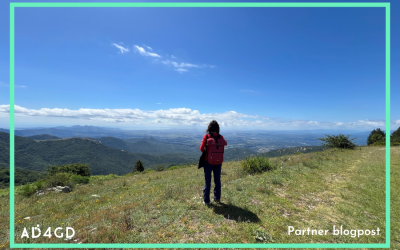
Monitoring and optimization of biodiversity corridors
Lead: AU and CREAF
Environment: Rural and peri-urban
Location: Catalonia, Spain
CitSci approach: Volunteered observations
Context, stakeholders and challenges
The need for functional landscape connectivity is crucial for animal and plant dispersal. National, regional, and local governments require standardized metrics to make strategic spatial decisions for protected areas, zoning, agricultural practices, land remediation, and international reporting to the Convention on Biological Diversity. They also require accessible information products to facilitate dialogues with stakeholders in the landscape, such as farmers, who are more sensitive to local contexts.
Ambition
AD4GD aims to provide standardized metrics on the state and protection of biodiversity for national, regional, and local governments to make strategic spatial decisions about protected area networks, zoning, agricultural practices, and land remediation. The challenge is to quantify connectivity approaches, and it varies from graph-based models to remote sensing approaches.
The implementation plan involves working with stakeholders to identify existing data and protocols, co-designing FAIR computation services for connectivity, optimising the interoperability of these services with CitSci, administrative, and IoT data streams, prototyping transparent and reproducible reporting of resulting maps and metrics, and documenting and publishing services with metadata and semantic descriptions. The objective is to allow scaling to other geographic and climate contexts and use for projection/change analysis as required.
A new tool to enrich land-use/land-cover datasets with OpenStreetMap and ecological data: Data4Land
Data4Land is a tool that helps to calculate more detailed species distribution models, habitat suitability maps, compute habitat connectivity or urban heat islands effects, among other applications.
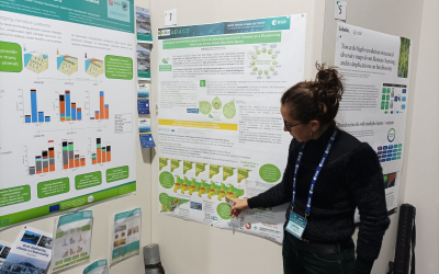
Earth Observation as a key tool for monitoring and managing Urban Green Spaces, insights from the 8th Mediterranean Forest Week
The AD4GD project took part in the 8th Mediterranean Forest Week showcasing a poster on Terrestrial Habitats Connectivity and participating in a panel session on Green Cities for Adaptation and Resilience.
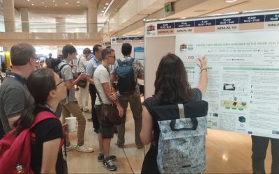
Terrestrial Connectivity and Digital Twin ready data available for the Green Deal Data Space at the IGARSS 2024
AD4GD showcased an oral presentation on terrestial connectivity based on Landsat/Sentinel Land Cover Classes as a biodiversity indicator and a poster on Digital Twin ready data for the European Green Deal Data Space.

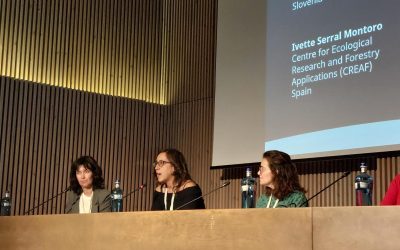
AD4GD takes part in the Biodiversity Aspects of the Green Deal Data Space webinar, organized by Eionet
Ivette Seral (CREAF) presented the AD4GD biodiversity pilot in this Eionet webinar.
All data for biodiversity and habitat connectivity at the EC-ESA Joint Earth System Science Initiative
AD4GD highlighted biodiversity and ecological connectivity at the EC-ESA conference.
A technical look at the Green Deal Data Space at a revealing internal workshop in Birmingham
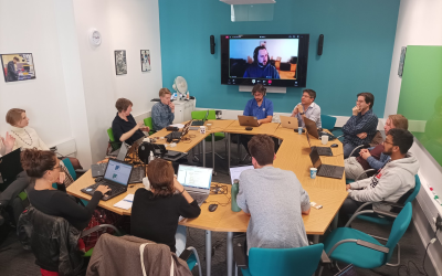
From October 24th to 27th, several members of the AD4GD project met in the city of Birmingham to attend an internal workshop organized by Aston University.
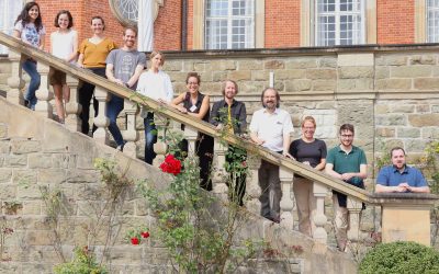
AD4GD pilots begin their journey with a workshop in Bonn
During the workshop, organized by Fraunhofer FIT, the most important features to be included in the pilots solutions were defined.
Real-world solutions to connect data for the Green Deal with Lucy Bastin from Aston University
The AD4GD project is an innovation project with an ambitious goal: bring together data from satellites, sensor networks, volunteer scientists and official sources. And that's only the beggining; we also aim to reach other kind of data available as long as they are...
Standarized data for biodiversity with our project coordinator, Joan Masó from CREAF
Joan Masó, GIS and remote sensing researcher at CREAF is our coordinator. Let’s talk with him about the AD4GD project!
Contact
CREAF – Centre de Recerca Ecològica i Aplicacions Forestals
Campus de Bellaterra (UAB) Edifici C, 08193 Cerdanyola del Vallès, SPAIN
Copyright © 2023 AD4GD