All Data 4 Green Deal
An Integrated, FAIR Approach for the Common European Data Space
Mission & Objectives
This project will enable the combination and integration of data from remote sensing, established Virtual Research Environments and Research Infrastructures, Internet of Things (IoT), socio-economic data, INSPIRE and Citizen Science (CitSci) in an interoperable, scalable and reliable manner. This will facilitate integration by including semantic mappings to different standards and dominant models bridging domain- and data source-specific semantic concepts such as the Essential Variables framework, as well as applying machine learning and geospatial user feedback to ensure quality, reliability and trustworthiness of data and transforming spatial scales.

- Co-design a Green Deal common Data Space of interoperable building blocks for heterogeneous data integration, artificial intelligence, Web APIs etc. allowing multiple existing data models and API standards to be fully integrated by semantic mapping.
- Ensure the FAIR integration of CitSci with other in-situ Earth observation data and INSPIRE data in the European Green Deal Data Space.
- Enable heterogeneous IoT communication protocols and data format integration into a common semantic model for the climate-related, geospatial an environmental European GD Data Space.
- Overcome data fragmentation by combining Earth Observation data from satellites with other sources of data into a common climate-related, geospatial and environmental data space to support the European GD Data Space.
- Enhance certainty, quality, and exploitability of heterogeneous data by leveraging on data analytics, machine learning, and Artificial Intelligence.
- Demonstrate through multi-scale, multi-criteria and multi-actor pilots the applicability and added value of data fusion for improved accessibility and decision making in the European Green Deal Data Space domains climate change, zero pollution and biodiversity.
- Research and demonstrate the potential of the AD4GD data space concept from the core to the edge to increase the scalability, performance, and convergence of use of high-performance computing, cloud, data, and artificial intelligence resources for Earth system modelling.
- Upscale and sustain the AD4GD concept and a collaborative community to support a highly scalable, comprehensive, and FAIR Green Deal European Data Space for citizens, researchers, policy, and decision makers.
Pilots
AD4GD will demonstrate through multi-scale, multi-criteria and multi-actor pilots the applicability and added value of data fusion for improved accessibility and decision making in the European Green Deal Data Space by focussing on the key priority areas of zero pollution, biodiversity and climate change.
Water pollution
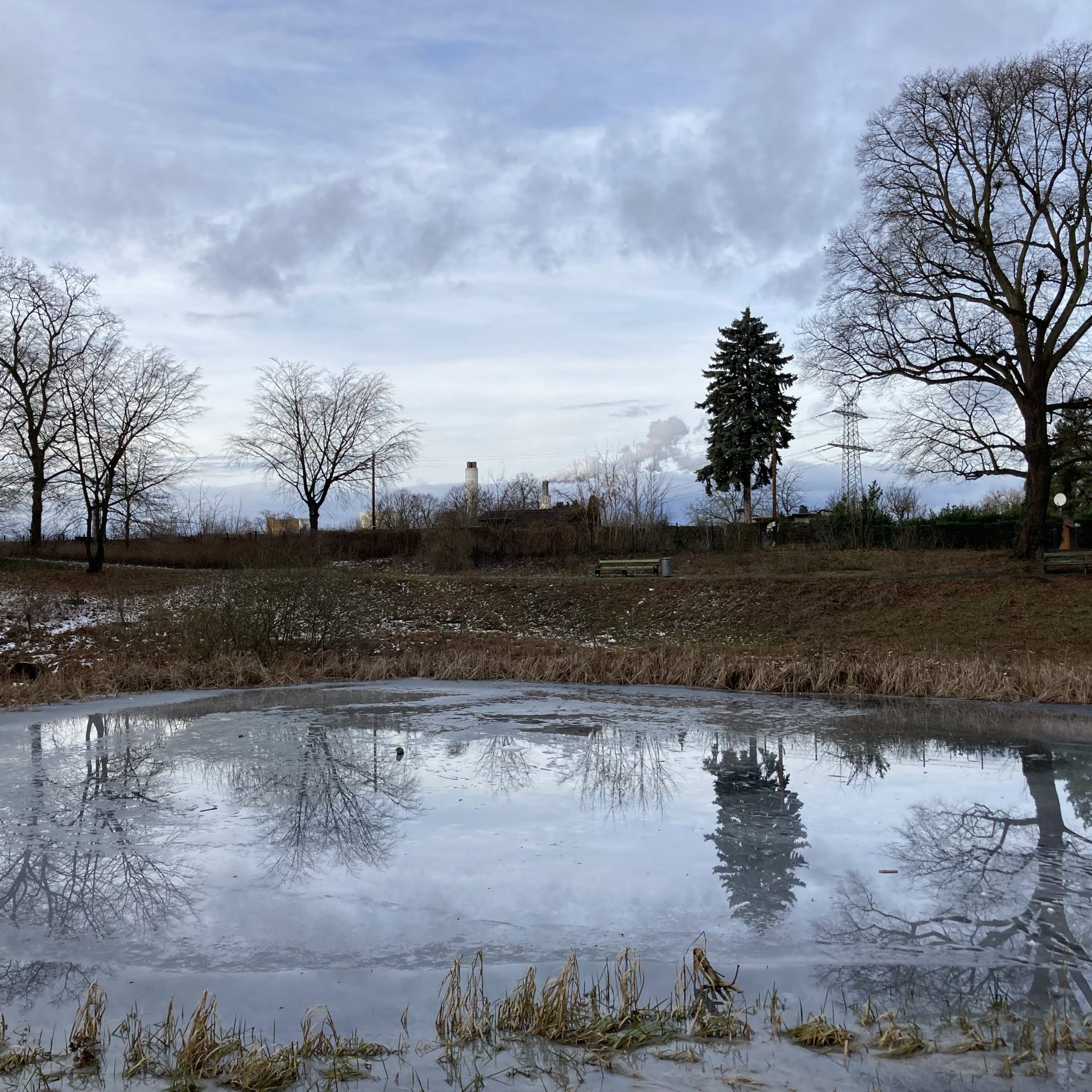
The project will specifically focus on water pollution, where satellite data and human measurements can contribute to enrich a data space currently dominated by IoT sources. The resulting integration model will also be tested and validated on air pollution and soil pollution examples.
Biodiversity
The project will establish key locations for landscape functional connectivity and endangered species persistence by explicitly combining and cross-validating the results from different accepted modelling approaches.
Climate Change
The project will acquire new in situ observation streams and develop solutions to make them interoperable in order to unlock their possible use in future CO2 and greenhouse gas emissions integrated monitoring information to support stakeholders at all scales.
Partners
The AD4GD consortium involves 12 partners that comprise Universities, Research Institutes, SMEs, Governmental bodies, public research centers and non-profit organization with a membership structure of international outreach.
CREAF
COORDINATOR
OGC
BENEFICIARY
ECMWF
BENEFICIARY
FIT
BENEFICIARY
KWB
BENEFICIARY
ATOS
BENEFICIARY
Contact
CREAF - Centre de Recerca Ecològica i Aplicacions Forestals
Campus de Bellaterra (UAB) Edifici C, 08193 Cerdanyola del Vallès, SPAIN