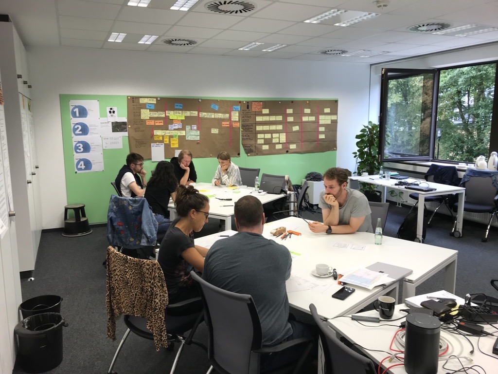
Our pilot cases are the essential experimental piece of the development of our project’s proposal for the Green Deal Data Space. Between the 11th and 14th of September, the AD4GD consortium met in Bonn (Germany) to properly kick off our pilots with a workshop organized by Fraunhofer FIT.
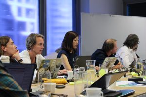
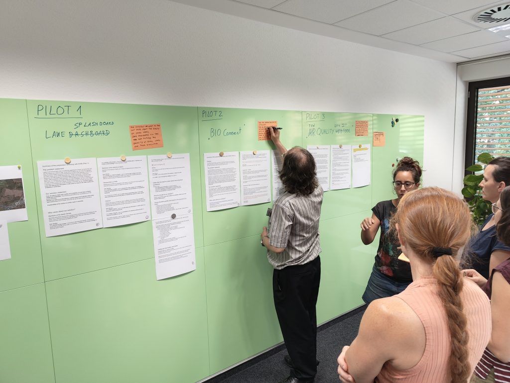
The AD4GD project is working on 3 pilots, which are aligned with the goals of the European Green Deal: a pilot on the water quality of lakes in Berlin, another one on biodiversity corridors in the metropolitan area of Barcelona and a third one on air quality in the North of Italy and the Benelux area. During the creative sessions of this workshop our partners were able to define the most important features to be included in the solutions that they will be developing in the next two years. Although the main focus was set on the design of user interfaces, there was also time to reflect on the data architecture and data flow of each pilot as well as to find synergies and meeting points among the cases.
During the workshop our partners defined the most important features to be included in the solutions that they will be developing in the next two years for their three pilots.
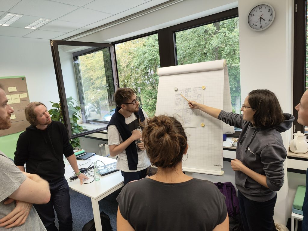
During the workshop, the “user journey mapping” and “paper prototyping” methods were applied. User journeys encourages researchers to write down specific actions that a real user could do when utilizing a tool. That way, needs and knowledge gaps are found in a more efficient way and users are set in the center of the design. Furthermore, the user journeys are used as the foundation for the paper prototyping. Paper prototyping allows for quickly visualizing ideas and making them more tangible and easier to discuss.
Three pilots, one goal
The objective of the AD4GD project is to demonstrate that the integration of FAIR (Finadable, Accessible, Interoperable and Reusable) data from different origins, with sufficient semantic interoperability, can add value to the information they contain. To this end, we have deployed three pilot cases in three different areas that share this common horizon.
Our water pilot, led by KWB, focuses on quality and availability of water in small lakes of Berlin. What is the challenge? There is a lack of integrated and easily accessible information about these lakes. How to solve it? We propose to develop an index that is calculated by integrating data from satellites, IoT sensors, in-situ measurements and citizen science. This could benefit the competent authorities, who would be able to manage these lakes with more science-based information, and also the citizens, who will enjoy the benefits provided by better managed ecosystems.
On the other hand, our biodiversity pilot is co-led by Aston University and CREAF and it’s geographically focused in the urban and peri-urban area of Barcelona. Its aim is to provide standardized metrics based on data about functional landscape connectivity, that measures how well species can travel from one place to another. Again, what’s the challenge? Nowadays, available information on connectivity typically comes from land cover maps derived from satellite imagery and does not consider the different species in an ecosystem. The challenge is therefore to integrate this knowledge with in-situ data to generate species-specific data. For that, an application will be developed to push connectivity as a relevant factor to be considered by administrations when making decisions about the landscape.
Finally, our last pilot is led by ECMWF and focuses on assesing the utility of IoT low-cost sensors for air quality measurements. What’s the challenge? To check if IoT data sensors can add value to the ECMWF CAMS (Copernicus Atmosphere Monitoring Service) system for air quality forecasts. For that, we plan to develop a set of methods to calculate their suitability based on IoT observations in the north of Italy and the Benelux area. Afterwards, all these data could be integrated in order to provide more informed knowledge both to the authorities and citizens.
What are the next steps?
This event marks the official start of the various pilot cases, after preparatory work. Efforts will now focus on turning the established roadmap into reality. We will keep you informed of the progress through this blog, our biannual newsletter and our social media.
For now, the next step is to test implementations of the first features into our pilot solutions in a hackathon that will take place next month in Birmingham. Looking forward to it!