AD4GD
  • About
    • Green Deal Data Space
    • Project
    • Partners
    • Work Packages
  • Pilots
    • Water
    • Biodiversity
    • Air Quality
  • Outcomes
    • Deliverables
    • Resources
    • Components
  • News & Events
    • News
    • Partner Blog Posts
    • Upcoming events
    • Newsletter
  • Action Group
Select Page
A new tool to enrich land-use/land-cover datasets with OpenStreetMap and ecological data: Data4Land

A new tool to enrich land-use/land-cover datasets with OpenStreetMap and ecological data: Data4Land

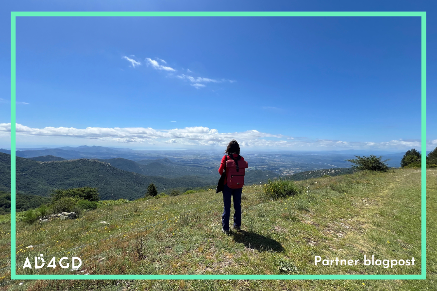
by Diego de la Vega | Mar 27, 2025 | Biodiversity Pilot, news, Partner Blogpost

Data4Land is a tool that helps to calculate more detailed species distribution models, habitat suitability maps, compute habitat connectivity or urban heat islands effects, among other applications.

Earth Observation as a key tool for monitoring and managing Urban Green Spaces, insights from the 8th Mediterranean Forest Week

Earth Observation as a key tool for monitoring and managing Urban Green Spaces, insights from the 8th Mediterranean Forest Week

by Diego de la Vega | Nov 14, 2024 | Biodiversity Pilot, news

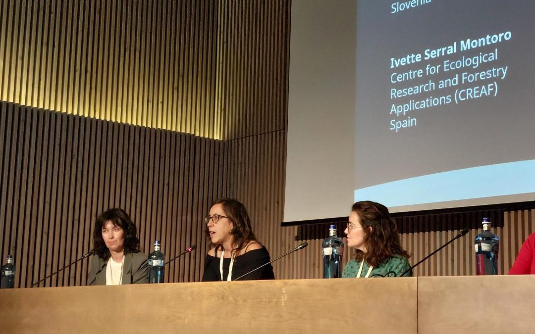
The AD4GD project took part in the 8th Mediterranean Forest Week showcasing a poster on Terrestrial Habitats Connectivity and participating in a panel session on Green Cities for Adaptation and Resilience.

AD4GD deploys three Camera Traps to test the standarization of Biodiversity Occurrence Data

AD4GD deploys three Camera Traps to test the standarization of Biodiversity Occurrence Data

by Diego de la Vega | Jul 29, 2024 | news

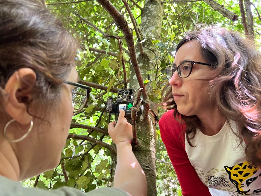
Three camera traps have been installed in La Albera Natural Park of National Interest by CREAF researchers as part of the AD4GD biodiversity pilot.

Terrestrial Connectivity and Digital Twin ready data available for the Green Deal Data Space at the IGARSS 2024

Terrestrial Connectivity and Digital Twin ready data available for the Green Deal Data Space at the IGARSS 2024

by Diego de la Vega | Jul 19, 2024 | Biodiversity Pilot, news

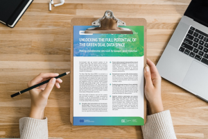
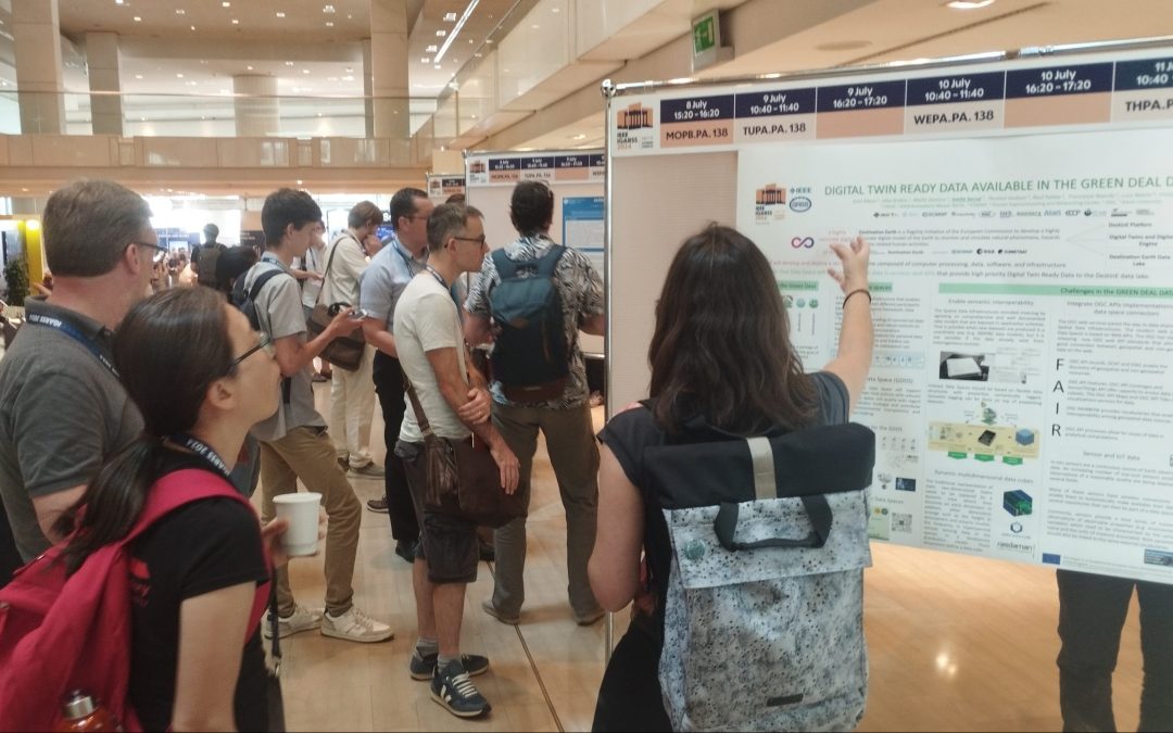
AD4GD showcased an oral presentation on terrestial connectivity based on Landsat/Sentinel Land Cover Classes as a biodiversity indicator and a poster on Digital Twin ready data for the European Green Deal Data Space.

Lucy Bastin & Ivette Serral, keynote and jury at the B-Cubed innovative biodiversity hackathon

Lucy Bastin & Ivette Serral, keynote and jury at the B-Cubed innovative biodiversity hackathon

by Diego de la Vega | Mar 20, 2024 | news

Both members of AD4GD will be headlining as keynote speaker and judge at the upcoming B-Cubed biodiversity hackathon.

« Older Entries
Subscribe to our newsletter
Tweets by ad4gd_project

Related News

  • A new tool to enrich land-use/land-cover datasets with OpenStreetMap and ecological data: Data4Land
    A new tool to enrich land-use/land-cover datasets with OpenStreetMap and ecological data: Data4Land
  • European Union, 2025
    A new CORDIS results pack highlights AD4GD and five other projects using AI to support the European Green Deal and data strategy.
  • Data Spaces Symposium Cover
    Data Spaces Symposium: see you in Warsaw
  • Ivette Serral at the 8th Mediterranean Forest Week
    Earth Observation as a key tool for monitoring and managing Urban Green Spaces, insights from the 8th Mediterranean Forest Week

COORDINATOR: Joan Masó Pau | CREAF - Centre de Recerca Ecològica i Aplicacions Forestals | Campus de Bellaterra (UAB) Edifici C, 08193 Cerdanyola del Vallès, SPAIN | Location map

EU Flag

This project is co-funded by the European Union, Switzerland and the United Kingdom.

Communication Contact: d.delavega@creaf.uab.cat | Information Contact: info@ad4gd.eu