
A new tool to enrich land-use/land-cover datasets with OpenStreetMap and ecological data: Data4Land
Data4Land is a tool that helps to calculate more detailed species distribution models, habitat suitability maps, compute habitat connectivity or urban heat islands effects, among other applications.
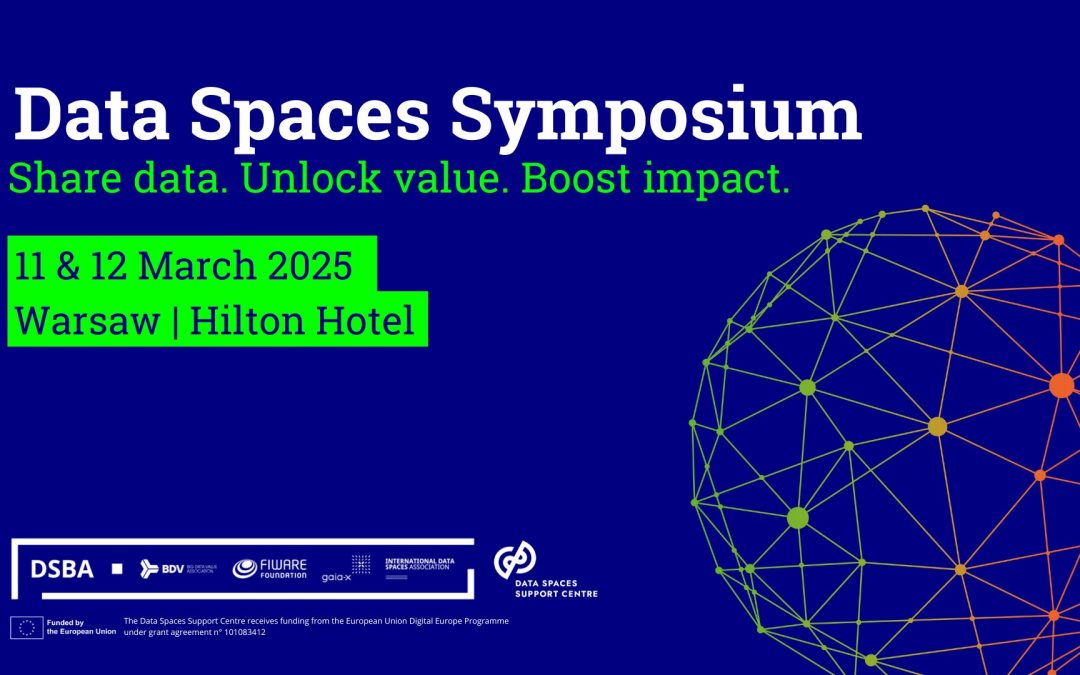
AD4GD at the Data Spaces Symposium 2025: Integrating Geospatial Data for a Greener Future
At the Data Space Symposium 2025 The AD4GD team is back from the Data Spaces Symposium 2025 in Warsaw, feeling inspired and energized. The event, themed “Share data. Unlock Value. Boost Impact.,” was a major gathering for the data space community and a...
A new CORDIS results pack highlights AD4GD and five other projects using AI to support the European Green Deal and data strategy.
The CORDIS results pack feature six Horizon Results projects that offer significant exploitation potential for developing a highly accurate digital twin model of the Earth through the Destinatinon Earth initiative.
Data Spaces Symposium: see you in Warsaw
The Data Spaces Symposium is the premier global event dedicated to the future of data spaces, bringing together the brightest minds, leading innovators, and pioneering organizations to shape a connected, data-driven world. Data spaces are key to achieving sovereign,...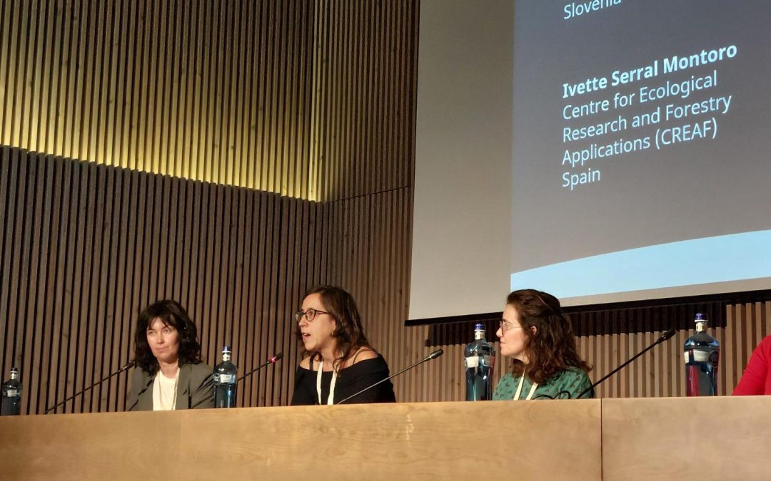
Earth Observation as a key tool for monitoring and managing Urban Green Spaces, insights from the 8th Mediterranean Forest Week
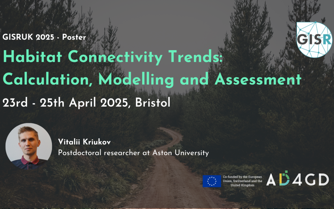
The AD4GD project took part in the 8th Mediterranean Forest Week showcasing a poster on Terrestrial Habitats Connectivity and participating in a panel session on Green Cities for Adaptation and Resilience.

Related News
- Three years of experience developing Green Deal Data Spaces: a chronicle of our final event

- Simplifying Data Accessibility: A Conversation with Pawel Babalski

- From University Project to the Green Deal Data Space: An Interview with Riyad Rahman

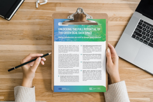
- Enhancing environmental data sharing: Policy brief Recommendations on Managing Data in the Green Deal Data Space