AD4GD
  • About
    • Green Deal Data Space
    • Project
    • Partners
    • Work Packages
  • Pilots
    • Water
    • Biodiversity
    • Air Quality
  • Outcomes
    • Deliverables
    • Resources
    • Components
  • News & Events
    • News
    • Partner Blog Posts
    • Upcoming events
    • Newsletter
  • Action Group
Select Page

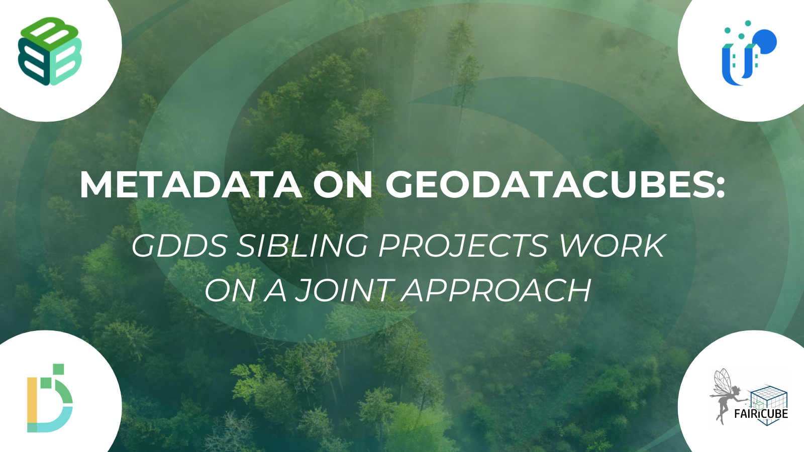
A common approach to metadata on GeoDataCubes is being worked on by the Green Deal Data Space Sister Projects

by Diego de la Vega | Jul 17, 2024 | news, Sister Projects | 0 comments

The Green Deal Data Spaces (GDDS) Action Group focuses on defining how the GDDS could contribute to the Group on Earth Observations (GEO).

The Sister Projects of the EuroGEO Action Group on the Green Deal Data Space have launched a common effort towards scientific and technical collaboration. The first of these joint actions targets comparing the metadata concepts behind their systems and looking at the advantages and disadvantages. The final goal is to propose a solid set of metadata concepts required when dealing with GeoDataCubes that go beyond simple Earth Observation imagery.

The Green Deal Data Spaces (GDDS) Action Group focuses on defining how the GDDS could contribute to the Group on Earth Observations (GEO). The group has a multifaceted agenda, including understanding GDDS through current use cases, consolidating various perspectives into a blueprint, exploring avenues for integrating the blueprint into the GEO Work Program and GEO platform, discussing ideas regarding GDDS governance, and outlining future development plans. The ultimate goal is to release a set of recommendations in a concise policy document.

The sister projects will discuss the outcome of the analyses jointly and work towards a common Policy Brief on metadata requirements for GDDS.

LEARN MORE ON THE GDDS ACTION GROUP PAGE
Subscribe to our newsletter
Tweets by ad4gd_project

Related News

  • A new tool to enrich land-use/land-cover datasets with OpenStreetMap and ecological data: Data4Land
    A new tool to enrich land-use/land-cover datasets with OpenStreetMap and ecological data: Data4Land
  • European Union, 2025
    A new CORDIS results pack highlights AD4GD and five other projects using AI to support the European Green Deal and data strategy.
  • Data Spaces Symposium Cover
    Data Spaces Symposium: see you in Warsaw
  • Ivette Serral at the 8th Mediterranean Forest Week
    Earth Observation as a key tool for monitoring and managing Urban Green Spaces, insights from the 8th Mediterranean Forest Week

COORDINATOR: Joan Masó Pau | CREAF - Centre de Recerca Ecològica i Aplicacions Forestals | Campus de Bellaterra (UAB) Edifici C, 08193 Cerdanyola del Vallès, SPAIN | Location map

EU Flag

This project is co-funded by the European Union, Switzerland and the United Kingdom.

Communication Contact: d.delavega@creaf.uab.cat | Information Contact: info@ad4gd.eu