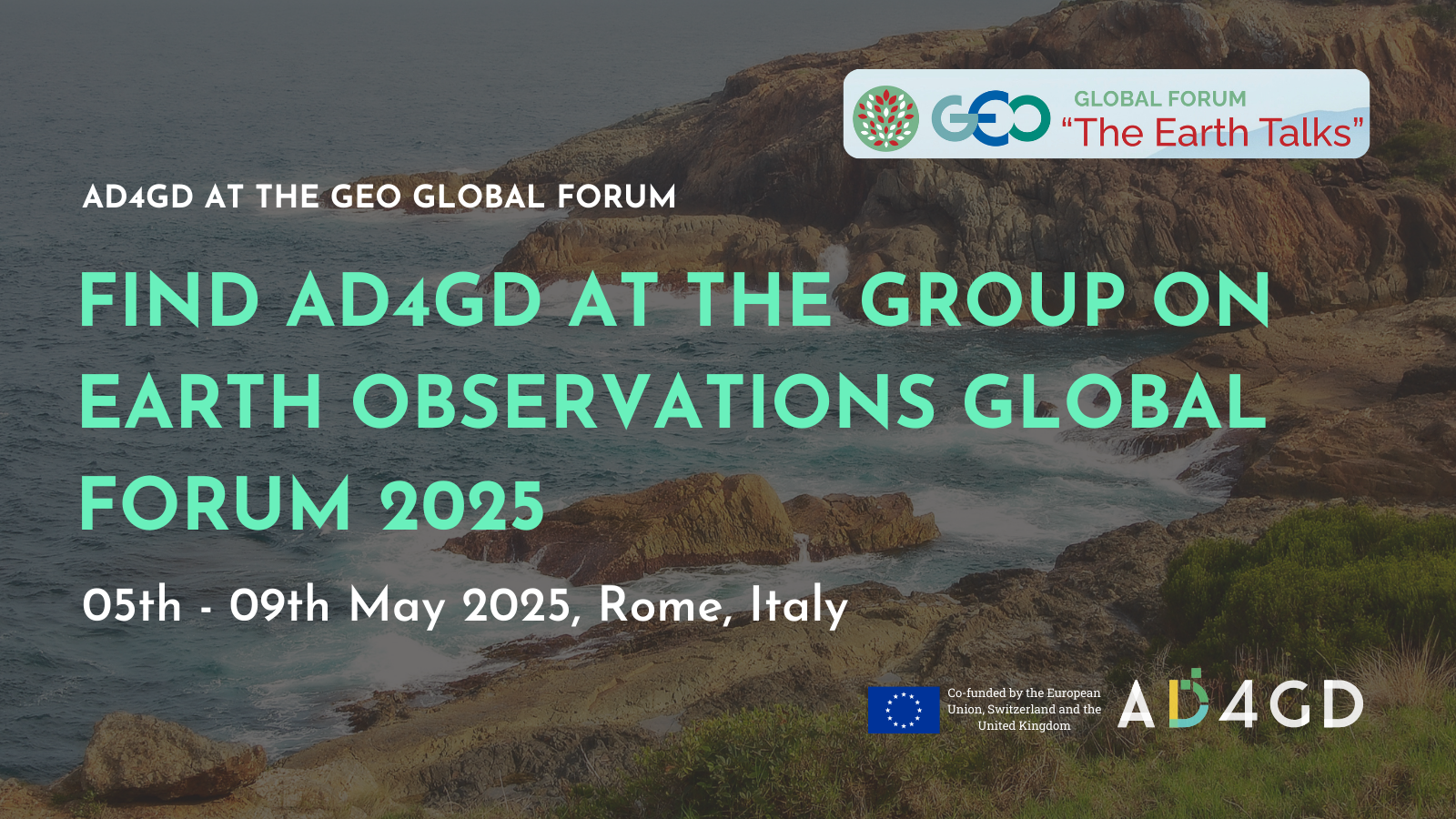
GEO Global Forum 2025
The Group on Earth Observations (GEO) connects governments, academia, organisations, civil society and the private sector to tackle global challenges through innovative solutions that harness the power of Earth Intelligence.
The GEO Global Forum 2025 is an international event that aims to inspire all actors of our society – from Ministers and global leaders to scientists and citizens – to harness Earth Intelligence to empower informed and ambitious actions to ensure food security, restore ecosystems, prevent disasters, and confront the triple planetary crisis, transforming the Sustainable Development Goals into an achievable reality.
The AD4GD project won’t miss this global event and will be present through the following activities:
Date
- May 05 - 09 2025
- Expired!
Time
- All Day
More Info
Location
- Viale Umberto Tupini, 65, 00144 Roma RM, Italia
Category
Organizer
-
Group on Earth Observations (GEO)
-
Website
https://earthobservations.org/about-us/events/geo-global-forum-2025
Speakers
-
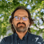 Joan Masó - CREAFPrincipal Investigador at CREAF and AD4GD Coordinator
Principal researcher leading the specialized group “Grumets” on geospatial interoperability, GIS, remote sensing. Since 1995 he is a researcher at CREAF and GIS developer. Co-creator of the MiraMon compressed map in 1997 that has evolved into a distribution and preservation format. Teacher in a RS and GIS master in the UAB. Creator of Remote Sensing imagery visualization and download software for web data portals (the MiraMon Map Reader).

Related News
- Three years of experience developing Green Deal Data Spaces: a chronicle of our final event
- Simplifying Data Accessibility: A Conversation with Pawel Babalski

- From University Project to the Green Deal Data Space: An Interview with Riyad Rahman

- Enhancing environmental data sharing: Policy brief Recommendations on Managing Data in the Green Deal Data Space