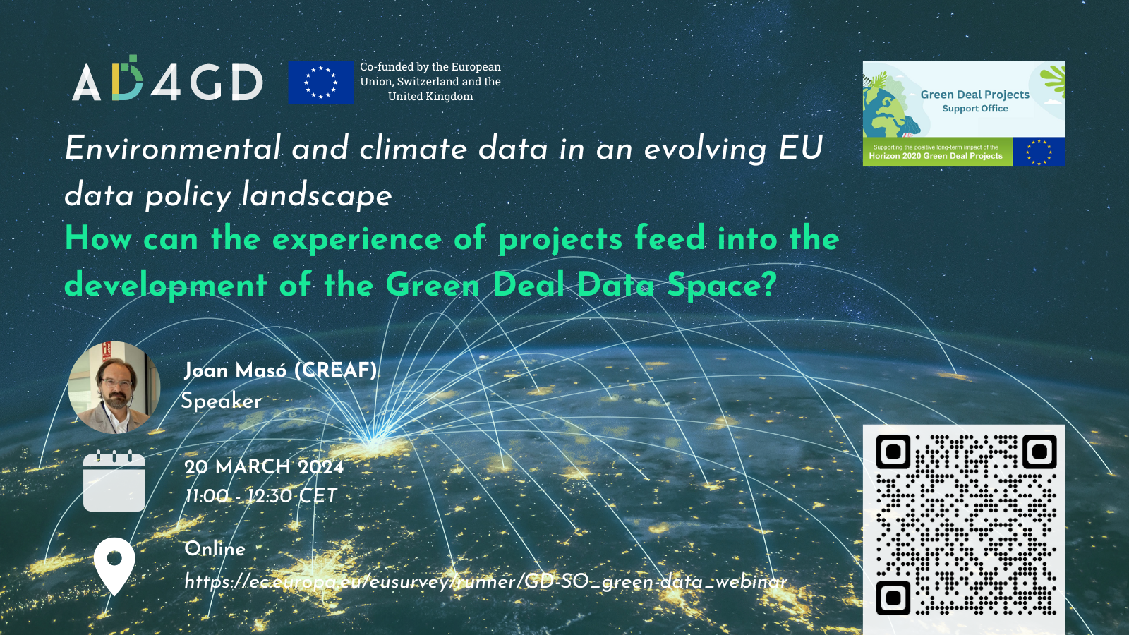
Environmental and climate data in an evolving EU data policy landscape
How can the experience of projects feed into the development of the Green Deal Data Space?
‘GreenData4All‘ is a European Commission initiative proposed as part of the European strategy for
data, which aims to make environmental geospatial data more accessible and usable, in order to
strengthen evidence-based policy-making and implementation.
It aims to contribute to the Green Deal objectives with the support of a Green Deal data space, linked
to several European legal instruments. The definition of a Green Deal Data Space is ongoing with the
involvement of several European Commission entities, e.g. the Joint Research Centre (JRC), DG
CONNECT and DG ENV.
This webinar will bring together projects working with environmental and climate data to discuss the challenges they face in this area to contribute to the evolving EU data policy landscape. In particular, it will enable the Green Deal Call projects to exchange views and experiences on the way they approach the management and use of different types of data, the technical and legal challenges they face, and the solutions they have identified. Their recommendations and insights for the creation of the Green Deal Data Space will also be sought.
The AD4GD project will be presenting their insights in the session dedicated to present the experiences of EU projects that could feed into the development of the future Green Deal Data Space.
Speaker
-
 Joan Masó - CREAFPrincipal Investigador at CREAF and AD4GD Coordinator
Principal researcher leading the specialized group “Grumets” on geospatial interoperability, GIS, remote sensing. Since 1995 he is a researcher at CREAF and GIS developer. Co-creator of the MiraMon compressed map in 1997 that has evolved into a distribution and preservation format. Teacher in a RS and GIS master in the UAB. Creator of Remote Sensing imagery visualization and download software for web data portals (the MiraMon Map Reader).


