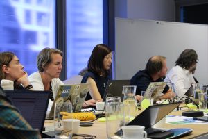
For the latest instalment of our interview series, we had the pleasure of speaking with Riyad Rahman. A recent Computer Science graduate from Aston University, Riyad has been an integral part of our team for nearly three years, contributing his expertise as a research assistant. His journey from an undergraduate student to a key contributor to the AD4GD air quality pilot is a testament to the exciting opportunities within our project.
We sat down with Riyad to discuss his background, his work on the project, and the valuable lessons he’s learned along the way.
Could you introduce yourself and tell us a bit about your background?
My name is Riyad Rahman, and I recently graduated with a degree in Computer Science from Aston University. For the past three years, I’ve been working as a research assistant here on various aspects of the AD4GD project. Computer science is a broad field, but it’s essentially the study of information and computation. It covers everything from algorithms and data structures to their application in areas like AI, software engineering, and computer graphics.
What are you most passionate about in your field?
I’m really passionate about two things. First, the creative problem-solving aspect of software engineering, building solutions that are not just functional, but also elegant and user-friendly, is incredibly rewarding. Second, I love the intersection of computer science with other disciplines like geography and statistics. My interest in GIS (Geographic Information Systems) has allowed me to explore our world through the lens of data, for example, by analyzing air quality data to understand health impacts and inform policy decisions.
How did you get involved with the AD4GD project?
My journey started during my placement year in 2021. I was hired as an undergraduate research assistant to develop the first component for the AD4GD air quality pilot. My main task was to create an automated data ingestion pipeline and a fleet management tool for low-cost mobile air quality sensors. At the time, there was no centralized platform to aggregate data from various non-governmental sensors, so my project focused on solving that problem. We started with a fleet of sensors bought by Aston University, with the bigger picture of eventually integrating global sensor data from sources like Sensor Community.
What has been your main contribution to the project?
My initial work on the data ingestion pipeline was used in the Birmingham Hackathon to identify key issues with data from low-cost sensors, such as data quality and harmonization problems. More recently, I’ve been working on Pilot 2, developing a processing pipeline to enrich land use and land cover data with information from OpenStreetMap (OSM).
What is the most significant lesson you’ve learned from working on AD4GD?
The most significant lesson has definitely been the importance of interoperability and data harmonization. When I was building the data ingestion pipeline, I encountered so many issues with how different companies measure the same pollutants. For example, one company might provide a raw measurement for particulate matter, while another provides it with humidity and temperature corrections. This really highlighted the need for a centralized platform where data is harmonized, and researchers can easily access and understand the information they’re working with. It’s a frustrating and time-consuming process otherwise.
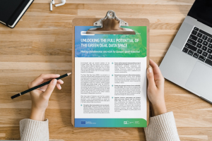
Why do you think a project like AD4GD and the Green Deal Data Space is important?
I think it’s incredibly important because the Green Deal Data Space is built from the ground up on FAIR principles:
Findable, Accessible, Interoperable, and Reusable. This empowers researchers to access and understand data, which in turn accelerates research into critical areas like air quality, water quality, and biodiversity. It also helps policymakers collaborate more effectively with scientists to create a more climate-neutral Europe. The key benefit is data clarity. Having this central, semantically enriched space will be incredibly useful for me and many others.
What are your plans for the future?
In the short term, I’ll continue to help with all three pilot projects. Long term, I’d like to stay in research or possibly work for the government using GIS software, a field I’ve really grown to enjoy through this project. I’m also considering a Master’s or a PhD, potentially using the new Green Deal Data Space to research environmental science. There are so many interesting topics to explore, and this will make it much easier to do that kind of work.