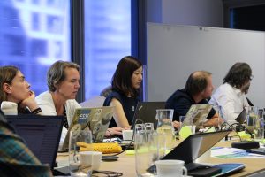
The OGC family gathered at the Delft University of Technology (TU Delft) for their 128th Member Meeting. During a full-week working session, from the 25th to the 28th of March, the different researchers and experts on geospatial data that conform the Open Geospatial Consortium discussed diverse topics. This edition’s central core was on Geo-BIM, that is on how to better use geographical data about the environment for construction, as it is becoming increasingly important.
Some members of the AD4GD project coordination team are part of the OGC family. They traveled to Delft and engaged in stimulating discussions on Citizen Science, Data Quality and standards like STA and STAplus, OGC API Maps, OGC API Common and GeoTIFF. In addition, they promoted the idea of creating a new working group on geospatial data requirements.
The idea of working on geospatial data requirements was well received and there are plans to continue pushing for it. Another key message that is taken for the future is the need to reactivate OGC API – Common – Part 2 to avoid divergency on the different OGC API standards. The OGC will open an electronic vote that, if passed, will result in the publication of the OGC API – Maps as a new OGC Standard. From AD4GD and in collaboration with the CitiObs project we will promote new STA extensions to include Citizen Science requirements.
The Open Geospatial Consortium is a community of experts committed to improving access to geospatial, or location information. They connect people, communities, and technology to solve global challenges and address everyday needs.