")
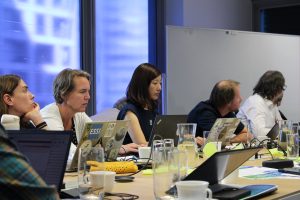
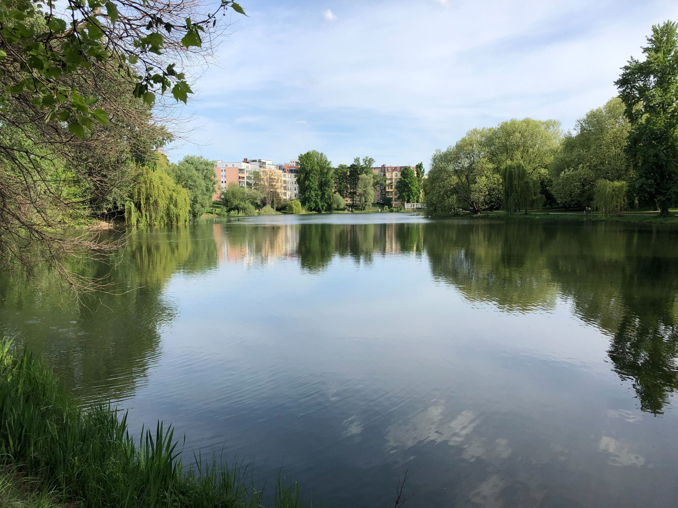
Lakes Lietzensee (left), Ruhwaldteich (center) and Sausuhlensee (right) in the Berlin metropolitan area.
400 lakes of less than 50 hectares in size currently lack proper monitoring in the city of Berlin. From now until autumn of this year, Berlin’s water research center, KWB, will install IoT oxygen sensors in the Sausuhlensee, the Ruhwaldsee and the Lietzensee lakes in order to investigate the relationship between nutrient content, weather and oxygen dynamics in more detail. These three very different lakes in terms of size and water quality were selected in close cooperation with the Berlin district of Charlottenburg-Wilmersdorf. The aim is to find out whether oxygen sensor data can be used efficiently to estimate the trophic state of a small urban water body, as these lakes are often not regularly monitored. To this end, characteristic patterns in the oxygen dynamics are to be identified in each of the lakes and assigned to their respective underlying condition.
This work is part of a pilot case on water quality and availability led by the AD4GD Horizon Europe project. The ultimate goal is that this procedure can be reproducible and the data generated is automatically tailored to be included in the future European Data Space for the Green Deal. This data space is part of the European Strategy for Data and is intended to be a secure meeting point for public and private data in support of the objectives of the European Green Deal.
3 different lakes
The Sausuhlensee lake lies in the middle of a cemetery in a small tunnel valley, and its size is just under 1 hectare. It is mainly fed by groundwater and also receives stormwater runoff from surrounding areas during heavy rainfall. Currently the only information available for this lake comes from testimonials from the district’s technicians, who points out that its amount of water tends to be slightly too low. The water quality in terms of nutrient concentration is assumed to be good due to the high visibility depth.
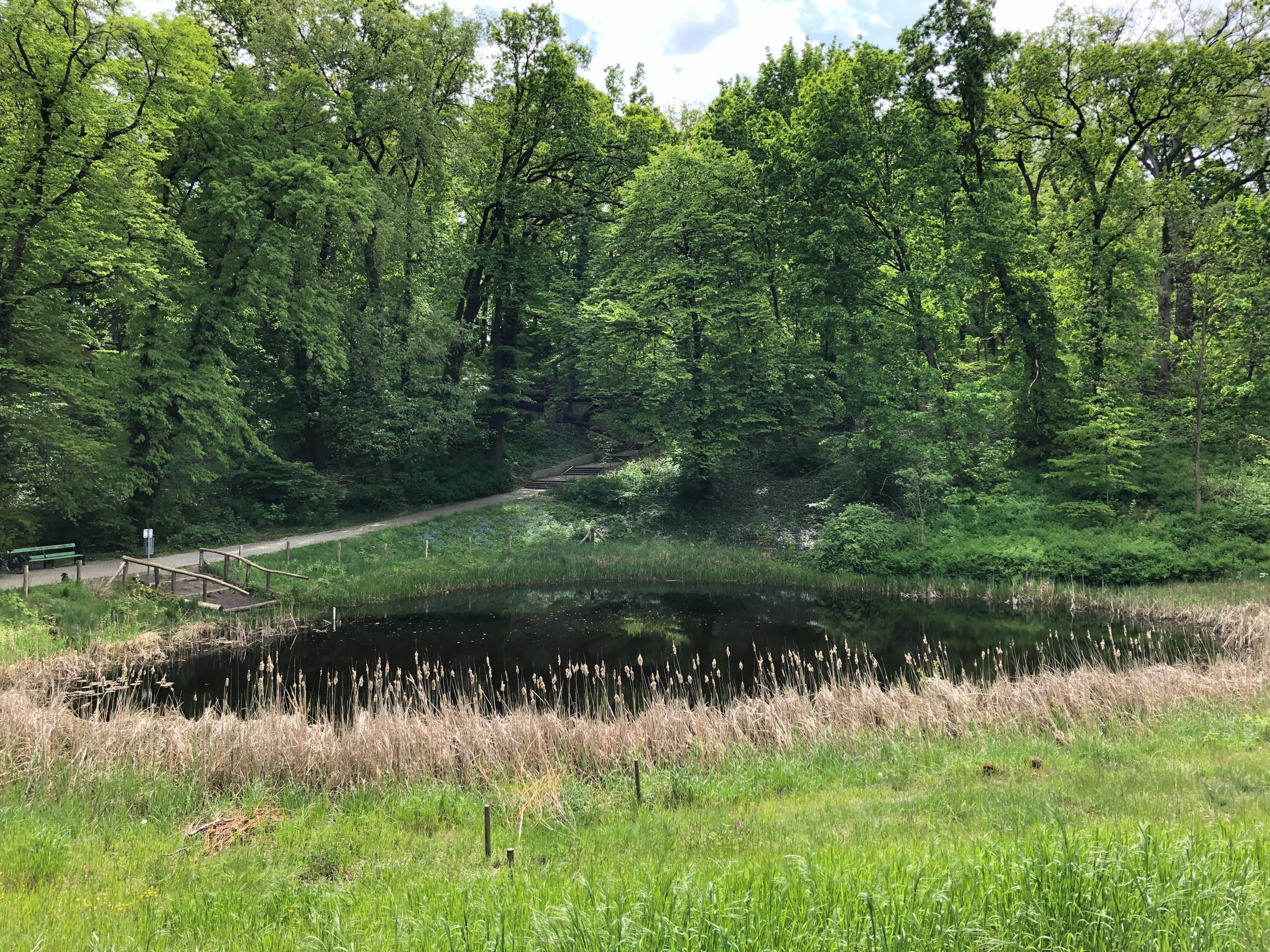
The very small Ruhwaldteich lake, although it has no direct inflow and no direct connection to the groundwater, has never dried up in dry periods. The small catchment area is rural, wooded and grazed. The water quality is rated as very good by the district experts, but no specific data is available for consultation.
An oxygen sensor will also be installed in the Lietzensee lake. It is not only by far the largest of the three lakes, but also the most heavily polluted one. It is largely fed by urban stormwater runoff, which contributes significantly to the nutrient and pollutant load. Extensive remediation measures are currently being carried out on this lake, which include the installation of underwater filter boxes for phosphate removal. Models based on oxygen dynamics can help to evaluate the success of those measures.
All three lakes will also be extensively monitored this year by the Charlottenburg-Wilmersdorf district office. The results will be included in the deterministic or stochastic models that are being developed and are expected to improve the conservation actions in the area. Researchers are excited to see what daily and annual variations in the near-surface oxygen concentration can tell them.
A reproducible model for Europe
Once the oxygen concentration information is available, more ingredients are needed to run the mathematical model that will generate the water quality and availability indices. For this purpose, available weather data will be included in the model and laboratory analyses of water samples will have to be performed. These data are often collected in different digital formats (pdf, csv, geoTiff, etc.) and combining them usually requires a time-consuming preparation.
The innovative approach designed by the AD4GD team, however, facilitates access to this data with the help of standardized vocabularies, which allows all the information collected to be presented in a common understandable language, and the implementation of the OGC SensorThings API, which makes it possible to standardize data from Internet of Things (IoT)-based sensors, making them much easier to use and transfer.

Diagram of the detailed data model of pilot 1 of the AD4GD project. Initial version.
The OGC SensorThings API implemented and deployed on a server allows the collection and the storage of the different types of data useful for the monitoring of the lakes located in Berlin. The simple data model employed by the OGC SensorThings API facilitates the interoperability and the integration of the heterogeneous IoT data into the upcoming Green Deal Data Space.
This effort to standardize and unify data expects to prove that this strategy could help to better share this type of data among the scientific community and the decision-making authorities through the Green Deal Data Space. This data space is part of the European Data Strategy to establish a single market for both public and private data related to the environment and jointly support actions that improve the sustainability of the European economy.