Earth Observation as a key tool for monitoring and managing Urban Green Spaces, insights from the 8th Mediterranean Forest Week
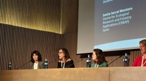
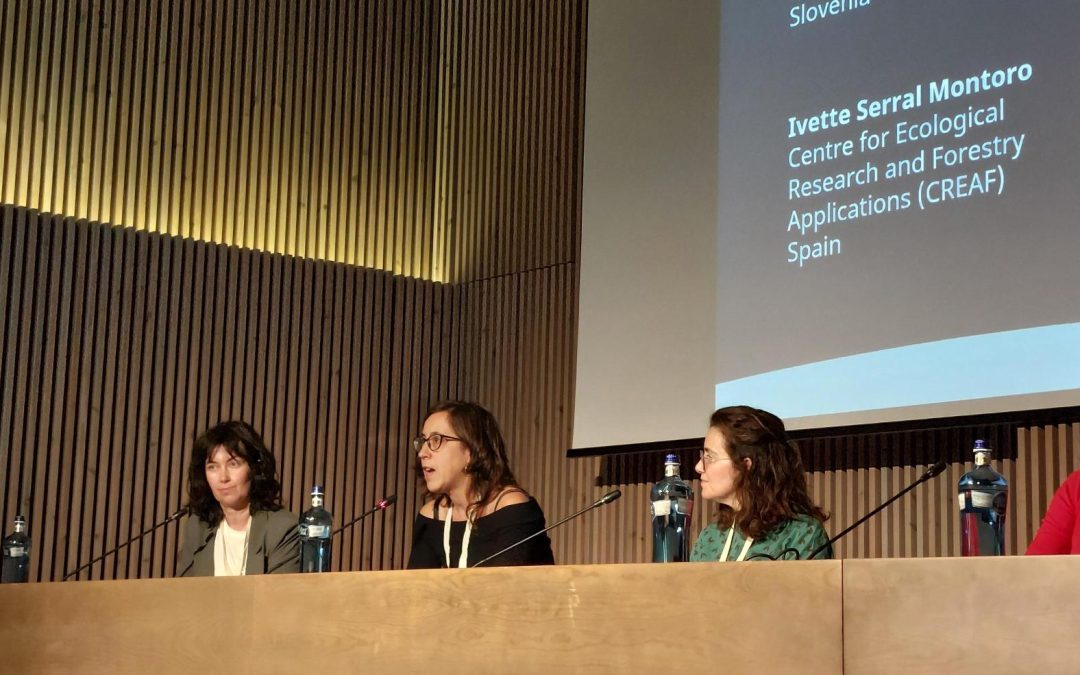
The AD4GD project took part in the 8th Mediterranean Forest Week showcasing a poster on Terrestrial Habitats Connectivity and participating in a panel session on Green Cities for Adaptation and Resilience.