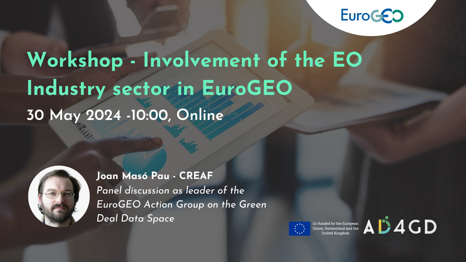
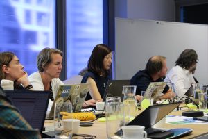
Workshop – EO industry sector involvement in EuroGEO
The EuroGEO Secretariat (EuroGEOSec) project is a Horizon Europe support action aiming to prepare the transition of the EuroGEO initiative into a sustainable endeavour. The EuroGEO Secretariat will coordinate the EuroGEO Ecosystem, to combine European R&I and industry bussiness activities within the GEO activities and to cooperate with all the actors of the EO sector, supporting the EuroGEO initiative in delivering operational capabilities.
A recent survey carried out in this framework, showed a 30% response rate coming from the industry and private sector, thus proving to be a major stakeholder in the EuroGEO landscape. The active involvement of the private sector in EuroGEO, showcasing its capabilities and services, makes EuroGEO unique and is a true strength. Hence, the private sector and the industry are key for the uptake of EuroGEO solutions and for promoting business models.
In this context, EARSC is supporting the building of the future EuroGEO community, coordinating the liaison with the EO industry. This meeting aims to:
- Present the key aspects of the EuroGEOSec project
- Present and discuss the results of the EuroGEO Survey to foresee the engagement and involvement of the industry more broadly across EuroGEO projects and initiatives especially:
- Industry involvement in EuroGEO through Action Groups and thematic workshops under EuroGEOSec (content level)
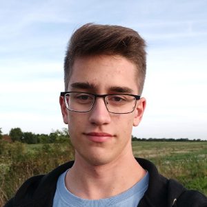
The AD4GD project will be present in this important event for EuroGEO represented by Joan Masó, researcher at CREAF and coordinator of AD4GD. His presence will be contextualized during the moderated discussion as leader of the EuroGEO Action Group on the Green Deal Data Space. This Action Group was created during the EuroGEO workshop in 2022 and includes:
- Sister projects financed by DG research to develop the Green Deal Data Space: AD4GD, BCubed, FAIRICUBE and USAGE.
- Other projects finnaced by other DG’s to implement data spaces: GREAT, Data Spaces Support Centre
- Other projects by EC research contributing to the Green Deal Data Space: Open Earth Monitor, EO4EU, Eiffel and ILIAD.
Proposed agenda
- Objectives of the meeting (5 min, led by EARSC)
- Presentation of EuroGEOSec project (10 min, led by ARMINES)
- EuroGEO’s survey results and involvement of the industry in EuroGEOSec project. (15 min, led by EARSC)
- Insights from parallel meeting with Public Entities (5 min, led by CNR)
- First feedback session (all, 15 min)
- Perspective of EuroGEO Action Groups representative (10 min, led by NOA)
- Second feedback (10 min, All)
- Moderated discussion (40 min, all)
- Conclusions and next step (10 min, led by EARSC and ARMINES)
- May 30 2024
- Expired!
- 10:00 am - 12:00 pm
Speaker
-
 Joan Masó - CREAFPrincipal Investigador at CREAF and AD4GD Coordinator
Principal researcher leading the specialized group “Grumets” on geospatial interoperability, GIS, remote sensing. Since 1995 he is a researcher at CREAF and GIS developer. Co-creator of the MiraMon compressed map in 1997 that has evolved into a distribution and preservation format. Teacher in a RS and GIS master in the UAB. Creator of Remote Sensing imagery visualization and download software for web data portals (the MiraMon Map Reader).

Related News
- Three years of experience developing Green Deal Data Spaces: a chronicle of our final event
- Simplifying Data Accessibility: A Conversation with Pawel Babalski
- From University Project to the Green Deal Data Space: An Interview with Riyad Rahman

- Enhancing environmental data sharing: Policy brief Recommendations on Managing Data in the Green Deal Data Space