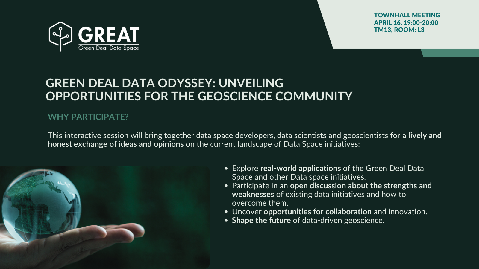
Green Deal Data Odyssey: Unveiling Opportunities for the Geoscience Community
This dynamic town hall meeting brings together data space developers, representatives of data space projects, data scientists, and geoscientists for an open and insightful exchange on the current landscape of Data Space initiatives. It’s an initiative pushed by the GREAT project. CREAF researcher Joan Masó is taking part in the dissusions together with other data scientists and data space representatioves.
What to expect:
- • Unveiling Opportunities: Discover real-world applications of the Green Deal Data Space and other data space initiatives relevant to geosciences.
- • Bridging the Gap: Participate in a lively panel discussion to explore the strengths and weaknesses of existing data spaces and brainstorm ways to overcome them.
- • Collaboration and Innovation: Uncover exciting opportunities for cooperation and identify paths for innovation within data-driven geoscience research.
- • Shaping the Future: Contribute to shaping the future of data spaces and their impact on the field of geoscience.
Confirmed speakers
- • Angeliki Adamaki | Project Manager at Lund University – ICOS Carbon Portal
- • Nigel Rees | Senior Research Environment Specialist (Geophysics) at Australian National University | National Computational Infrastructure
- • Anne Fouilloux | Senior Research Engineer at Simula Research Laboratory | PANGEO
- • Marie-Françoise Voidrot | OGC
- • Joan Maso | EuroGEO / AD4GD
The GREAT project, funded by the Digital Europe program, aims to establish the Green Deal Data Space Foundation and its Community of Practice which builds on both the European Green Deal and the EU’s Strategy for Data. The project will deliver a roadmap for implementing and deploying the Green Deal Data Space, an infrastructure that will allow data providers and initiatives to openly share their data to tackle climate change in a multidisciplinary manner.
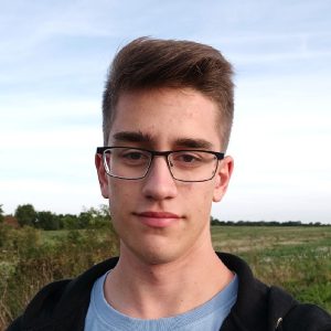
Speaker
-
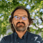 Joan Masó - CREAFPrincipal Investigador at CREAF and AD4GD Coordinator
Principal researcher leading the specialized group “Grumets” on geospatial interoperability, GIS, remote sensing. Since 1995 he is a researcher at CREAF and GIS developer. Co-creator of the MiraMon compressed map in 1997 that has evolved into a distribution and preservation format. Teacher in a RS and GIS master in the UAB. Creator of Remote Sensing imagery visualization and download software for web data portals (the MiraMon Map Reader).

Related News
- Three years of experience developing Green Deal Data Spaces: a chronicle of our final event
- Simplifying Data Accessibility: A Conversation with Pawel Babalski
- From University Project to the Green Deal Data Space: An Interview with Riyad Rahman
- Enhancing environmental data sharing: Policy brief Recommendations on Managing Data in the Green Deal Data Space