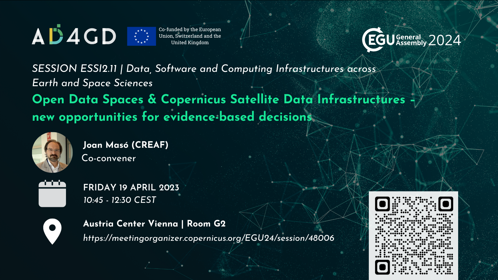
EGU General Assembly 2024 – Open Data Spaces & Copernicus Satellite Data Infrastructures – new opportunities for evidence-based decisions
Data plays a crucial role in driving innovation and making informed decisions. The European strategy for data is a vision of data spaces that aims to foster creativity and open data, while also prioritizing personal data protection, consumer safeguards, and FAIR principles. Satellite imagery has transformative potential, but limitations of data size and access have previously constrained applications.
Additional thematic or geographical data spaces are being developed, such as the European sectorial data spaces, the Copernicus Data Space Ecosystem and Green Deal Data Space. These provide access to high-quality, interoperable data, through streamlined access, on-board processing and online visualization generating actionable knowledge and supporting more effective decision-making. These novel tools of this digital ecosystem create a vast range of opportunities for geoscience research, development and communication at local to global scale. Operational applications such as monitoring networks and early warning systems are built on top of these infrastructures, facilitating governance and sustainability in the face of global challenges. Worldwide satellite imagery data series can be accessed through API systems, creating analysis ready data for advanced machine learning applications. Put together, these advances in data availability, analysis tools and processing capacity are transformative for geoscience research. There is a growing demand for a deeper understanding of their design, establishment, integration, and evolution within the environmental and Earth sciences. As a geoscience community, it is imperative that we explore how data spaces can revolutionize our work and actively contribute to their development.
This session connects developers and users of the Copernicus Data Space Ecosystem and other European satellite data infrastructures and Data Spaces, showing how data spaces facilitate the sharing, integration, and flexible processing of environmental and Earth system data from diverse sources. The speakers will discuss how ongoing efforts to build data spaces will connect with existing initiatives on data sharing and processing, and present examples of innovative services that can be developed using data spacess. By leveraging these cutting-edge tools within the digital ecosystem, the geoscience community will gain access to a vast range of opportunities for research, development, and communication at local and global scales.
Speaker
-
 Joan Masó - CREAFPrincipal Investigador at CREAF and AD4GD Coordinator
Principal researcher leading the specialized group “Grumets” on geospatial interoperability, GIS, remote sensing. Since 1995 he is a researcher at CREAF and GIS developer. Co-creator of the MiraMon compressed map in 1997 that has evolved into a distribution and preservation format. Teacher in a RS and GIS master in the UAB. Creator of Remote Sensing imagery visualization and download software for web data portals (the MiraMon Map Reader).


