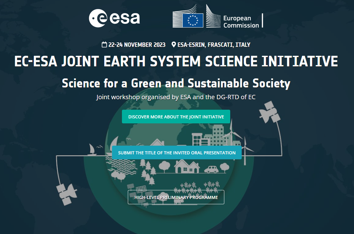
EC-ESA Joint Earth System Science Initiative: Science for a Green and Sustainable Society
Progressing towards a sustainable climate transition requires more than ever that scientists advance their understanding of our planet and translate that knowledge into solutions for society. Sharing this vision, in January 2020, EC and ESA launched a joint Earth System Science Initiative, which aims at providing a coordinated response to the global challenges that society is facing in the onset of this century. This event invites scientists, research institutions, policy makers, innovators, industry, ESA activities and Horizon Europe projects to participate in such initiative and contribute to advance “Science for a Green and sustainable society”. The AD4GD project will be present at this conference with two main participations:
Oral presentation: Thursday 23 November from 09:00 – 11:00 on the Session 3: ESA – EC Biodiversity Projects – Part 1, by Joan Masó (CREAF)
Poster: “Ecological Connectivity based on Remote Sensing Land Cover Classes as a Biodiversity Pilot Case for the Green Deal Data Space” by Ivette Serral (CREAF)
This EC-ESA joint initiative is expected to provide a significant scientific contribution to the vision of the EU Green Deal, achive the goals of the New Missions of Horizon Europe with special attention to adaptation to climate change, healthy oceans and soil health and food, establish a solid scientific basis for the realisation and evolution of the EC DestinE initiave, the evolution and scientific impact of the Copernicus programme.
Hourly Schedule
Thursday 23 November
- 9:00 - 11:00
- Session 3: ESA – EC Biodiversity Projects - Part 1
-
Speakers:
Joan Masó - CREAF
- All Day
- Poster: Ecological Connectivity based on Remote Sensing Land Cover Classes as a Biodiversity Pilot Case for the Green Deal Data Space
-
Speakers:
Ivette Serral Montoro - CREAF
- Nov 22 - 24 2023
- Expired!
- All Day
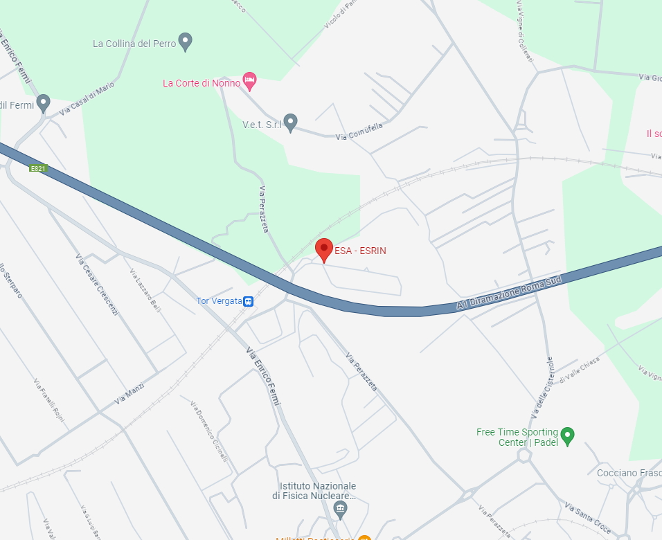
- Via Galileo Galilei, 1, 00044 Frascati RM, Italia
Speakers
-
Joan Masó - CREAFPrincipal Investigador at CREAF and AD4GD Coordinator
Principal researcher leading the specialized group “Grumets” on geospatial interoperability, GIS, remote sensing. Since 1995 he is a researcher at CREAF and GIS developer. Co-creator of the MiraMon compressed map in 1997 that has evolved into a distribution and preservation format. Teacher in a RS and GIS master in the UAB. Creator of Remote Sensing imagery visualization and download software for web data portals (the MiraMon Map Reader).

Related News
- Three years of experience developing Green Deal Data Spaces: a chronicle of our final event
- Simplifying Data Accessibility: A Conversation with Pawel Babalski

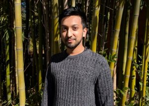
- From University Project to the Green Deal Data Space: An Interview with Riyad Rahman
- Enhancing environmental data sharing: Policy brief Recommendations on Managing Data in the Green Deal Data Space